Viking Walks
CLIENT
State Archaeology Department of Schleswig-Holstein (ALSH)
RESEARCH FIELD
TYPE
Web
YEAR
2022
LINK
DESCRIPTION
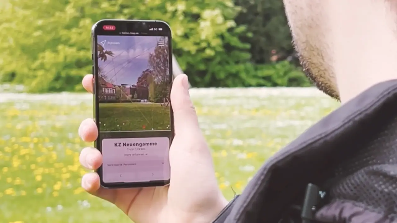
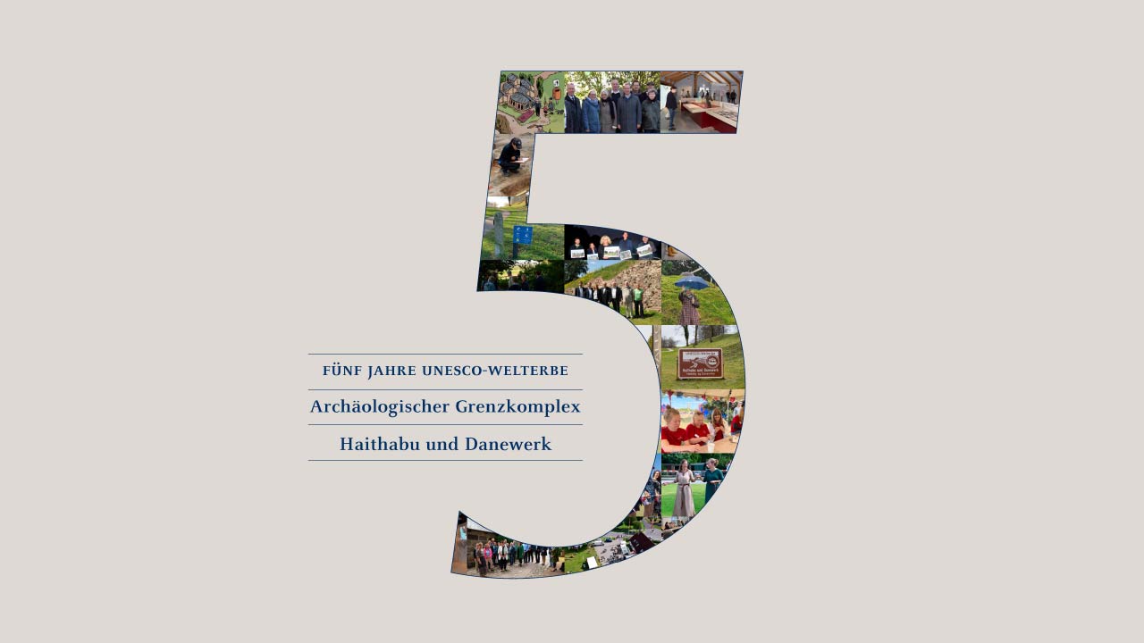
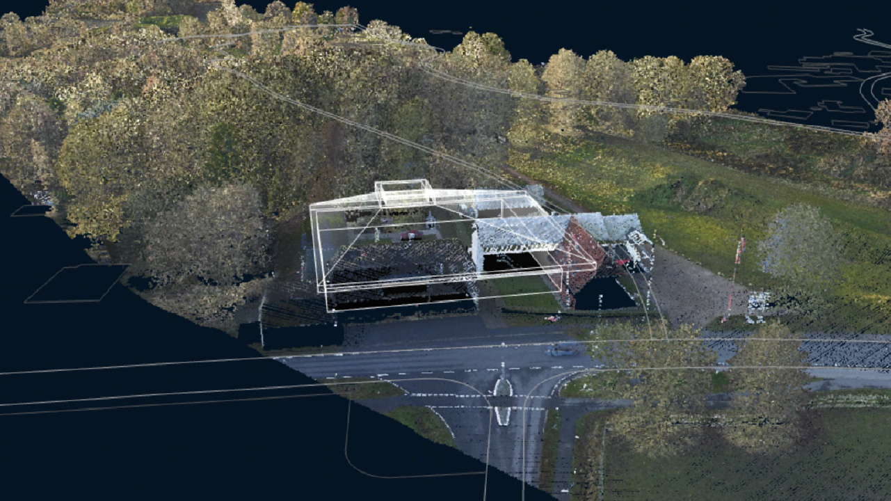
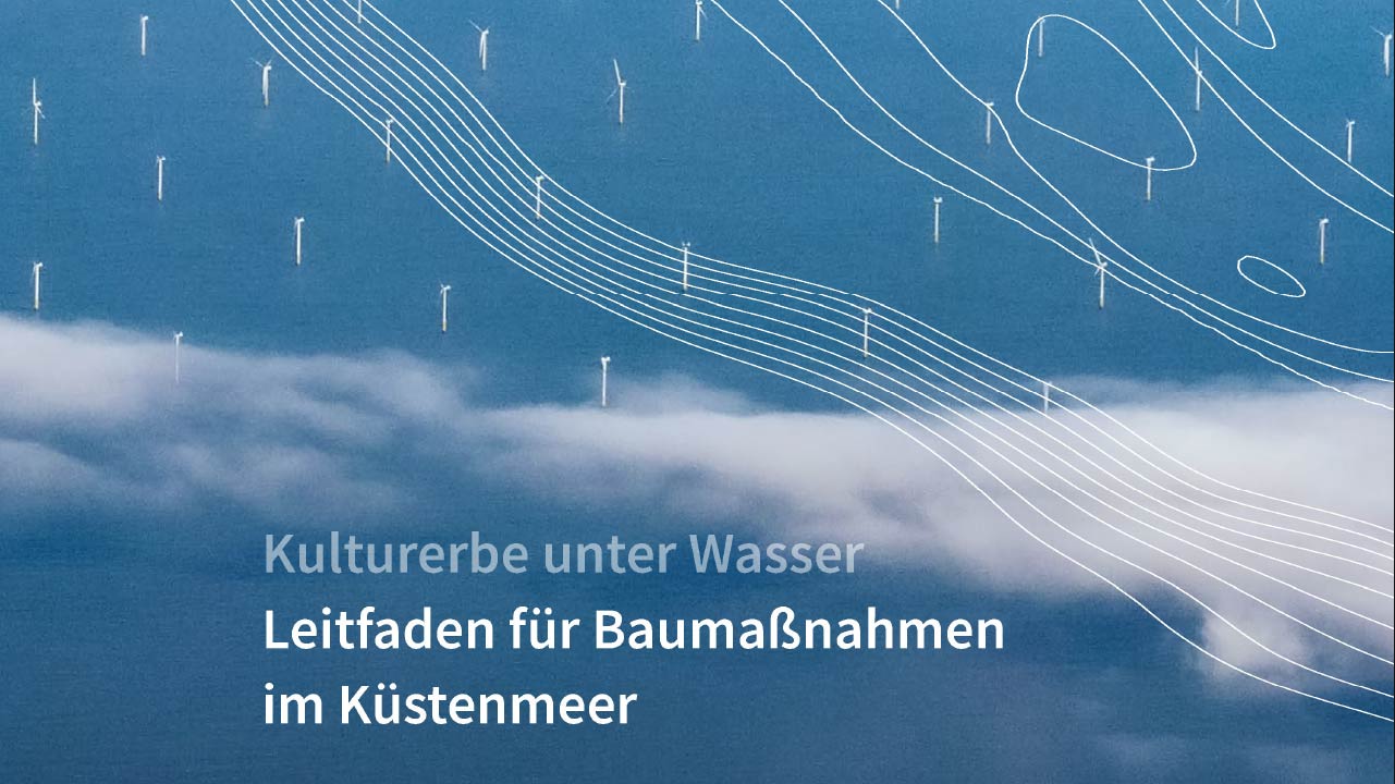
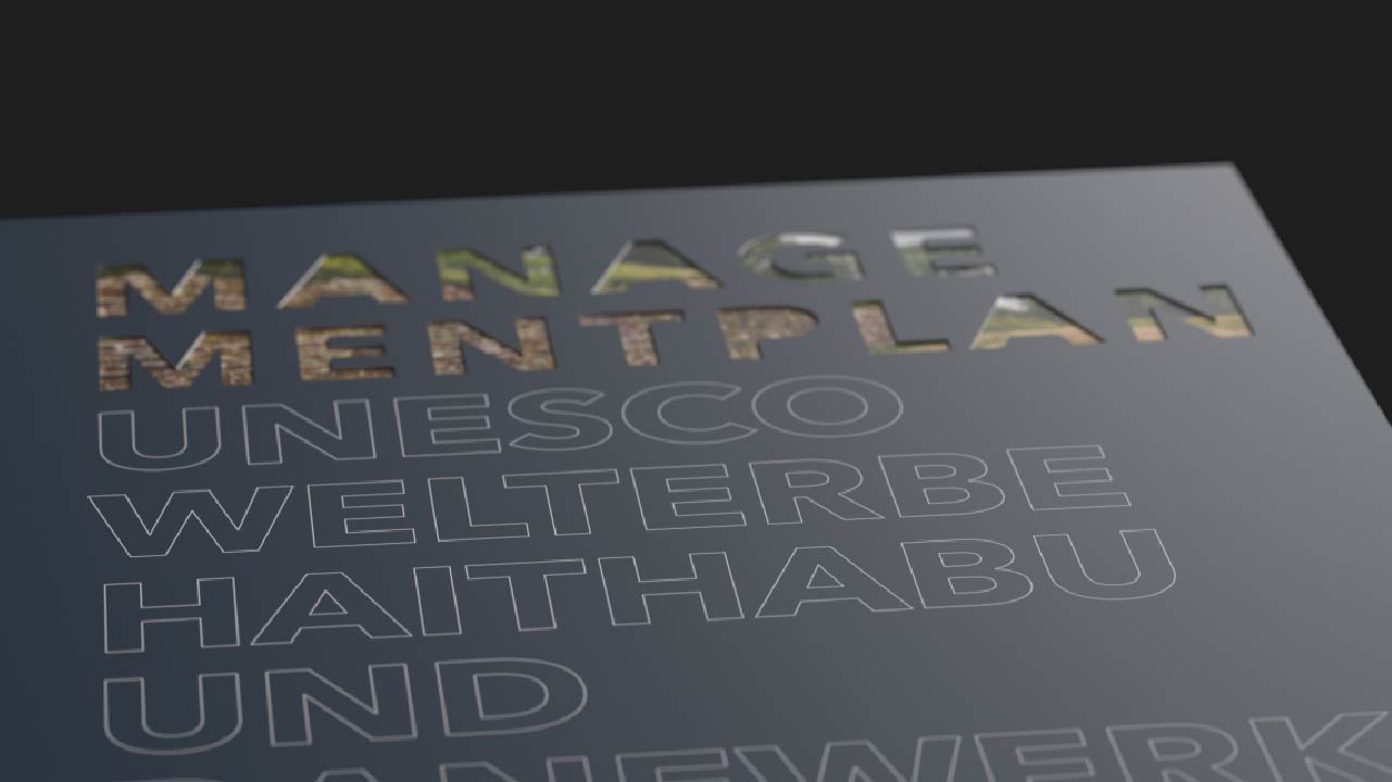
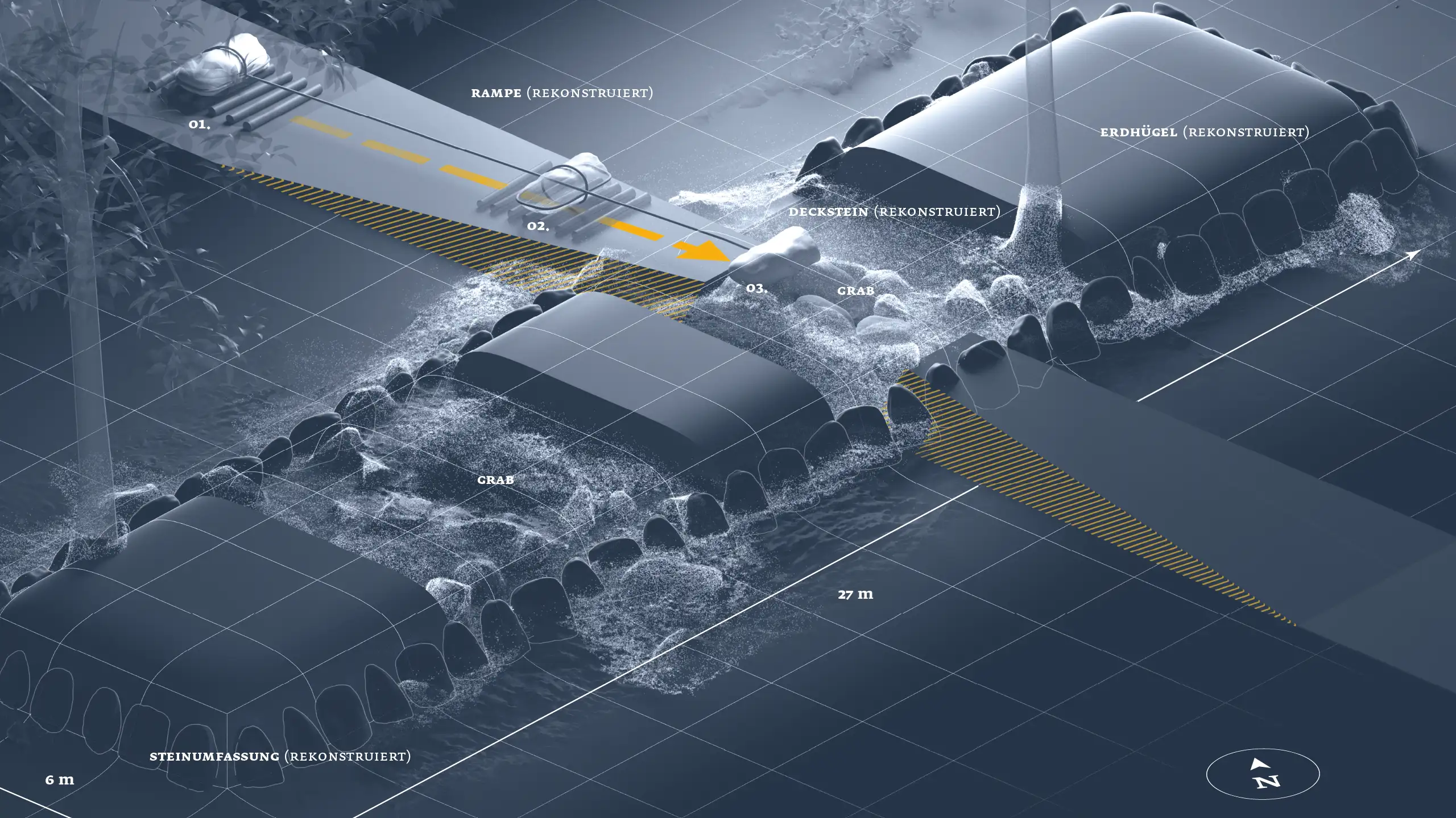
In an impressive way, users go on a digital walk-through Hedeby and Danevirke. This World Heritage Site in the north of Germany is a 26 km long archaeological monument that is difficult to experience in reality due to its sheer size and partial destruction.
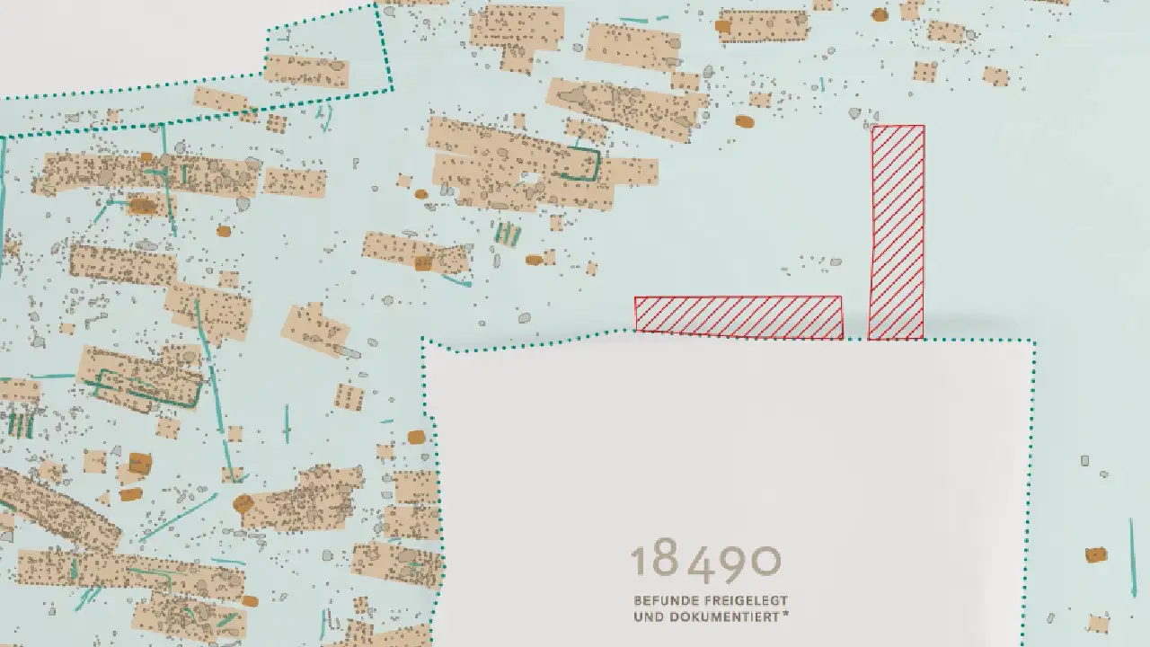
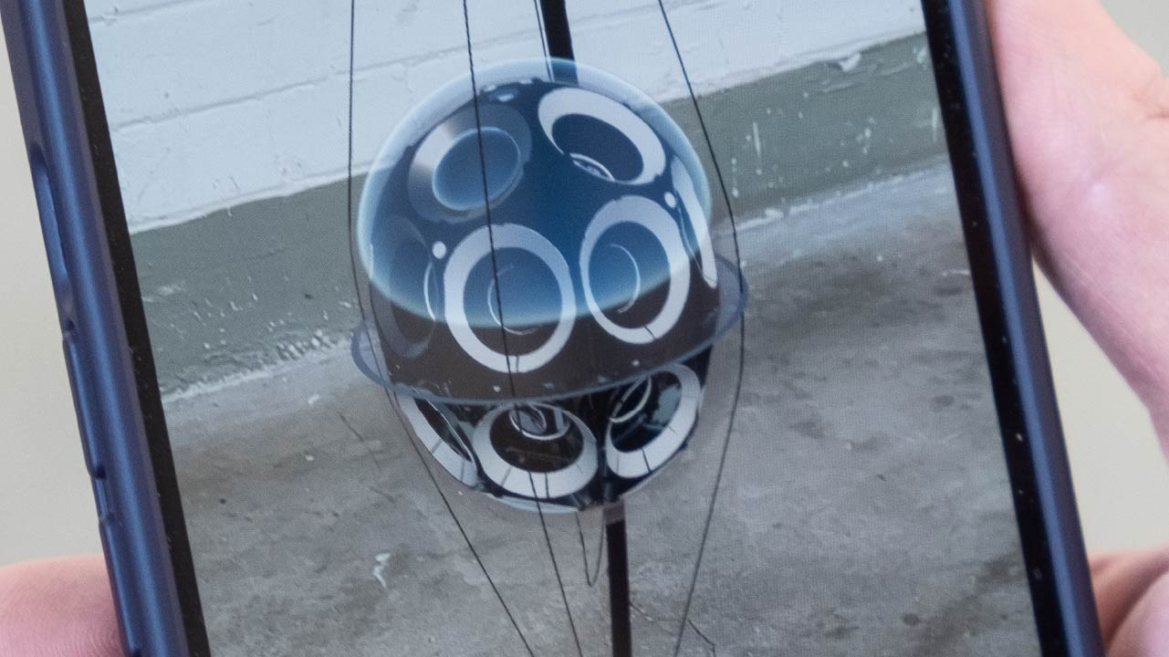
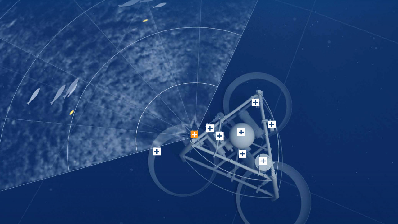
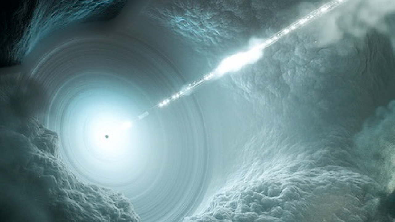
With a data set of over 400 million points from a Lidar scan plus various geo-referenced archaeological data, topographical data and 3D models of reconstructions, we were able to make this historically significant space a digital experience.
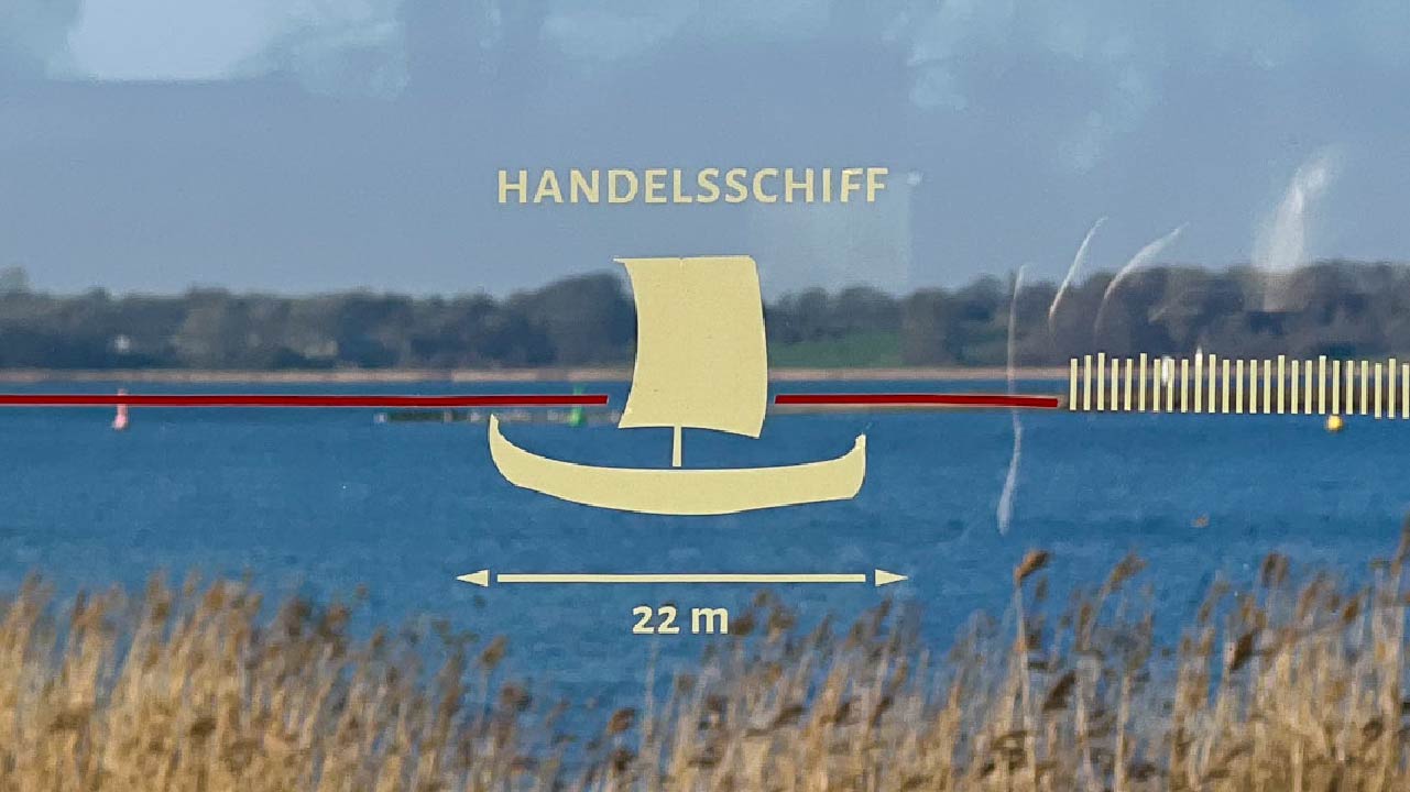
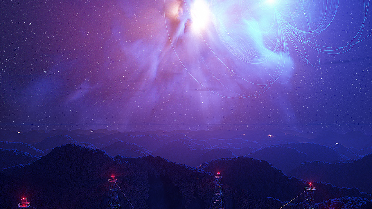
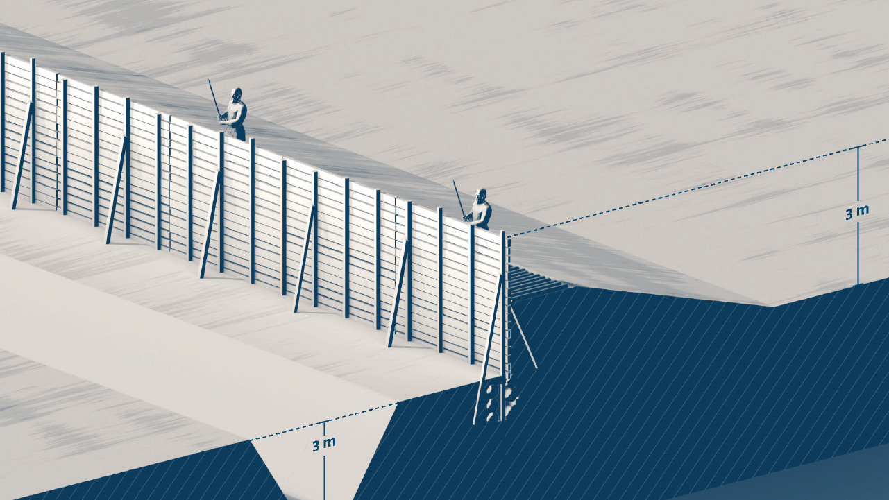
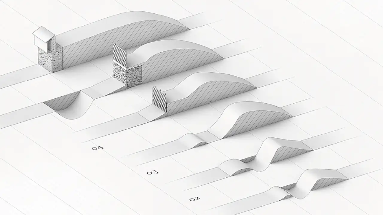
Under the motto #vikingwalks, you will discover the paths of the Vikings, their tools, and weapons as well as other archaeological finds excavated at the Hedeby and Danevirke World Heritage Site. You also have the opportunity to trace the historic stages of the mighty Danevirke defensive wall and to admire the Waldemars Wall in its original state. 3D reconstructions of the former trading centre and various sections of the rampart can be overlaid on the present-day condition and create a link between that time and today.

Update! We are continuously improving the application. A special new feature is the intro, which gives a guided insight into the topic, with the archaeologist Matthias Maluck talking about the special features of Hedeby and Danevirke. Afterwards, users can explore the entire Danevirke themselves.

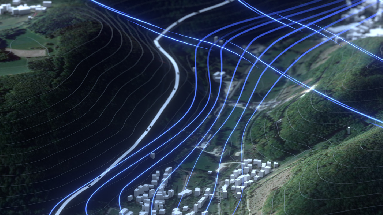
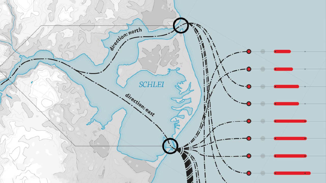
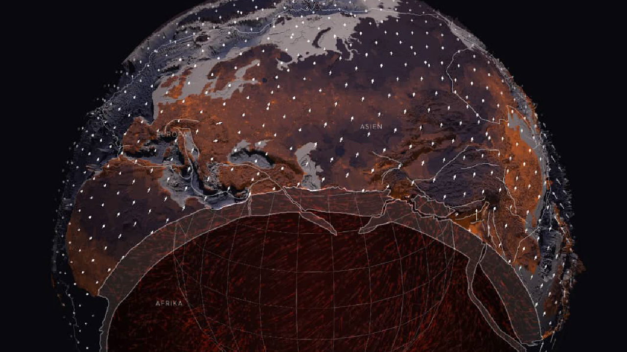
The trading centre of Hedeby and the defensive system of the Danevirke secured the borderland between Scandinavia and the European mainland at the narrowest point between the Baltic Sea and the North Sea. This special location enabled intensive trade and exchange between the regions. The route of over 100 km between the seas can now be flown over digitally in the footsteps of the Vikings.


The Viking Walks application can be used in many ways. On the one hand, it conveys the historical significance and the special location of Hedeby and Danevirke to tourists, interested laypeople and for educational purposes. On the other hand, professionals can use the application with its modular structure for planning, management, and communication.
In summary, the aim of the application is to use data and visualizations to make an exceptional testimony of the Viking Age, which is difficult to experience in reality, digitally accessible in an engaging way.


Give it a try!
More projects


Get in touch with us! ➞
Science Communication Lab
Rappaport Duscher GbR
Heiligendammerstraße 15
24106 Kiel, Germany
Phone: +49 431 53011140
Mail: hi@scicom-lab.com
© 2015 - 2024 Science Communication Lab
All Rights Reserved